Disaster response posts
Explore the latest in our mission to build a better world using data science and AI.
Explore the latest in our mission to build a better world using data science and AI.
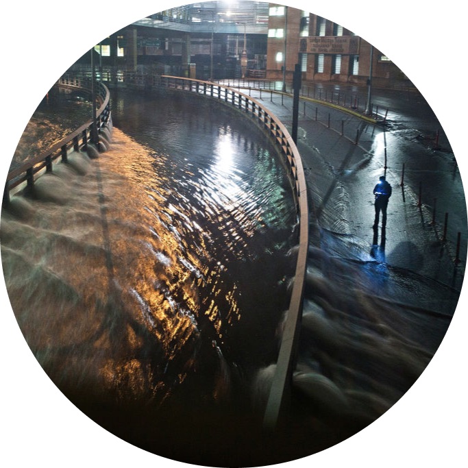
Meet the winners who were best able to detect floodwater using synthetic-aperture radar (SAR) imagery! These winners developed solutions that can help to strengthen early warning systems and direct emergency relief.
We'll show you how to tune a U-Net model to measure flood extent using Sentinel-1 synthetic-aperture radar imagery.
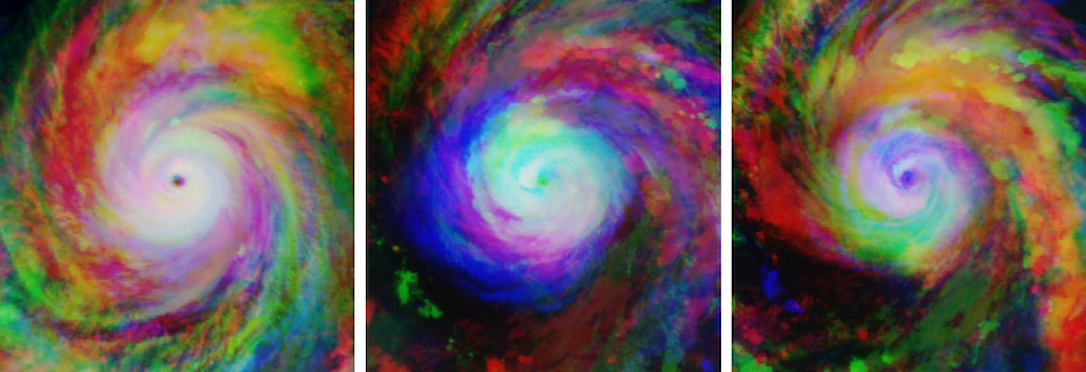
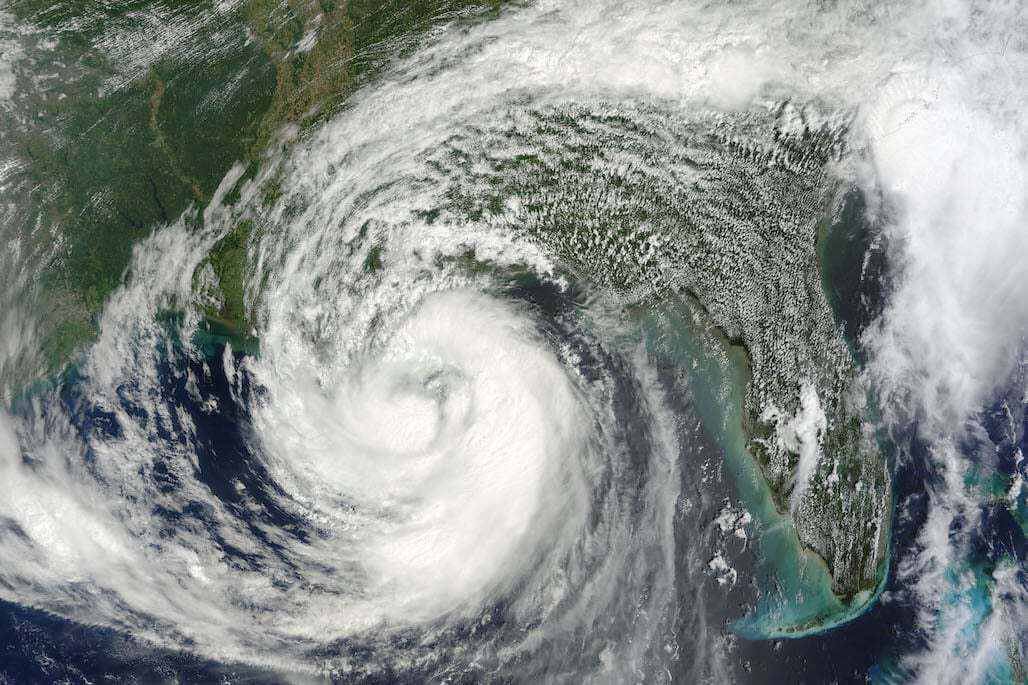
Meet the winners who were best able to estimate the wind speeds of tropical storms at different points in time using satellite images.
We'll show you how to start predicting wind speeds for our latest disaster preparedness challenge.
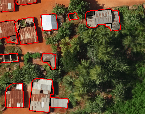
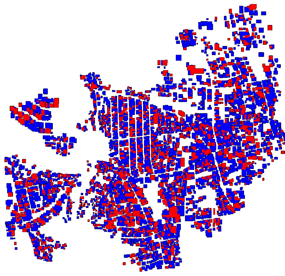
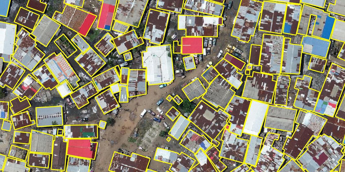
Meet the winners with the best building segmentation models and ethical perspectives for disaster risk management
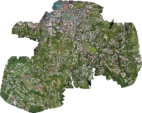
Meet the winners who were best able to map disaster risk from aerial imagery!
We'll show you how to start detecting building outlines for our latest disaster resilience challenge.
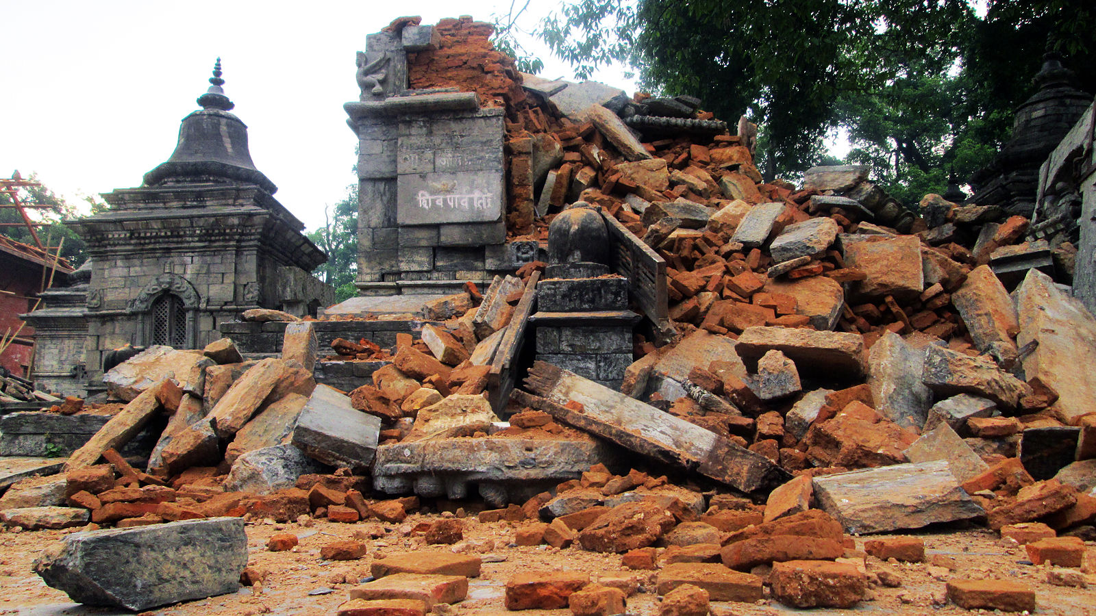
In this post we'll show you how to start using data science to predict the extent of earthquake damage!
Join our newsletter or follow us for the latest on our social impact projects, data science competitions and open source work.
Learn more about how our team is bringing the transformative power of data science and AI to organizations tackling the world's biggest challenges.